
With the introduction of satellite images and geolocated data to a broad public, new opportunities are offered to city planners and governments to take informed decisions by quantitative analyses and even predictions based on these technologies. In doing so, urban phenomena, such as the relation of population demographics to current challenges of cities (as for instance, climate change in cities, crime or deprivation) can be discussed or future predictions of urban development modelled to analyse their infrastructure costs to assist cities in climate-friendly resource-efficient urban planning.
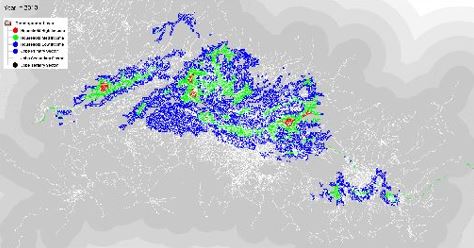
Screenshots of the tool Urban Growth Simulation Calculator
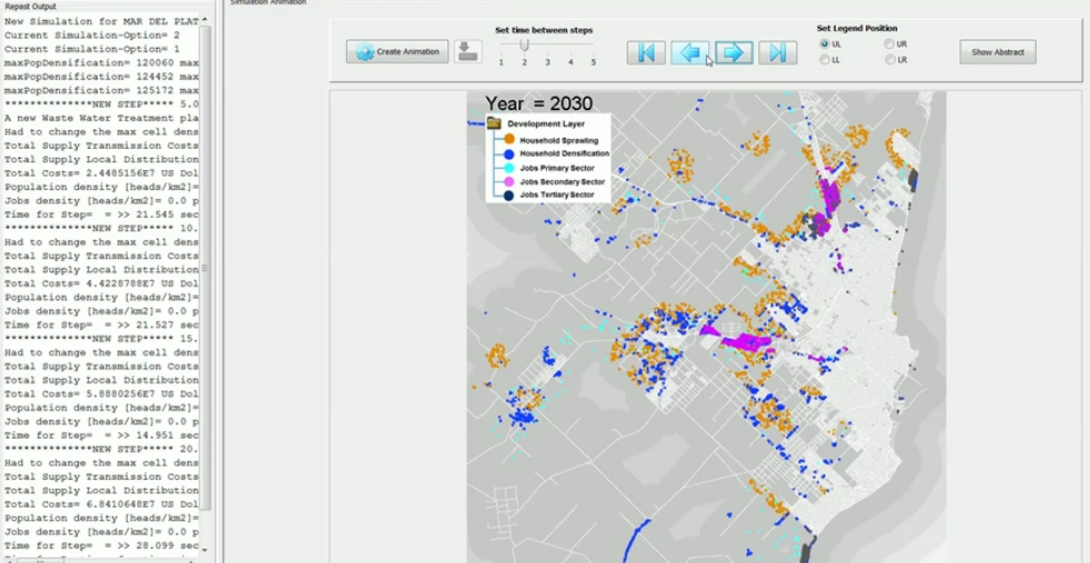
Screenshots of the tool Urban Growth Simulation Calculator
Kummenti ()