
The integration of land use planning and urban space management with mobility planning is a central strategy to reduce and avoid vehicle miles traveled and to shift motorised trips to zero or low carbon modes of travel. The development of housing and businesses should be oriented towards infrastructure and services for walking, cycling and public transport.
Each carbon-free city needs an integrated approach for land-use and transport planning to create multimodal, inclusive, liveable and economically competitive urban areas in the long term.
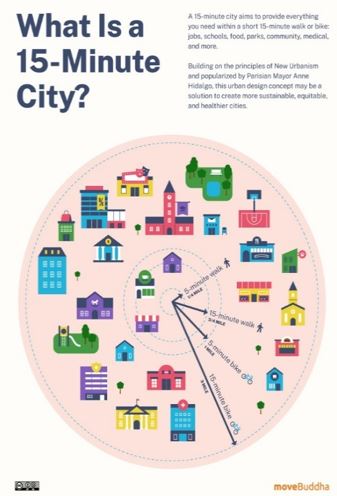
- At city level land-use planning can influence the density and location of housing, promoting new buildings or businesses easily accessible by sustainable modes (incl. public transport and active mobility) in the present or in the future. New developments take place on brownfields and should have access to public transport. Promote mixed-used development to reduce distances people need to travel to use residential, commercial or business land.
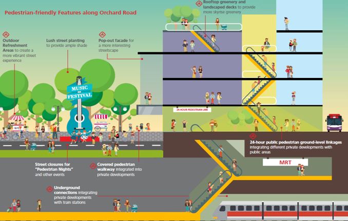
- At the neighborhood level inter-modal hubs could combine collective mobility with active modes of travel. In addition to that, the creation of co-working spaces at hubs could reduce the number of commuters.
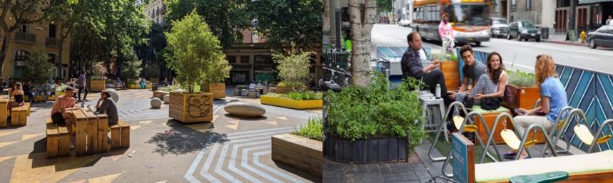
- At street/square level urban space (e.g. parking space) could be reallocated to sustainable modes and for the use of the public such as green spaces, benches, shade and water points, and public toilets.
Σχόλια ()